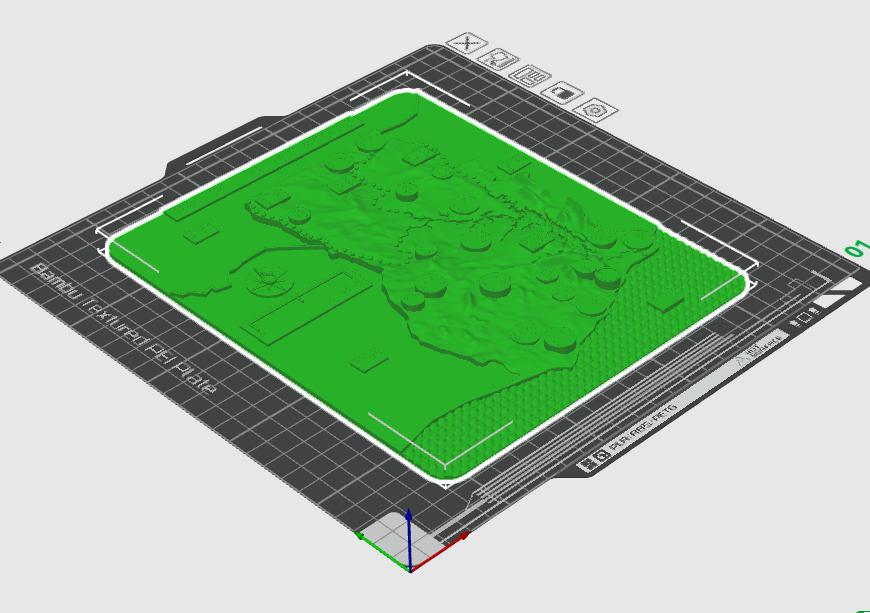
The Ghana map is a 3D printed plate that teaches various aspects of Ghana’s geography. Raised dotted lines represent rivers and the topography of the land can be felt. There are also braille labels throughout the map naming cities, rivers, bordering countries, and more. Because these labels are abbreviated, a key is also included below to define what each label stands for.